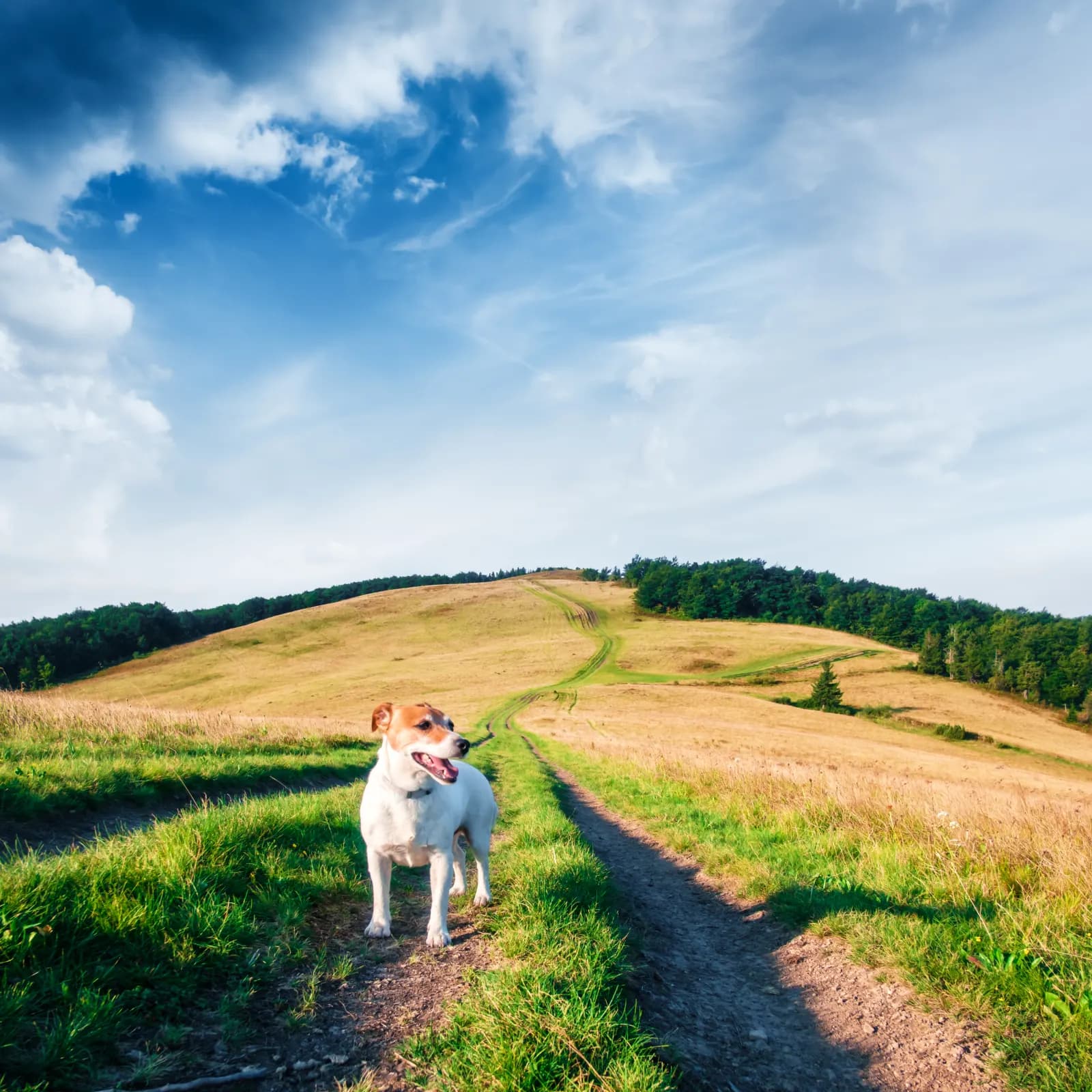
Belvédères du lac de Roue
A 5.8 km walking loop starting from Arvieux Les Maisons in Arvieux. Duration 1 h 30. Dogs allowed on a lead.
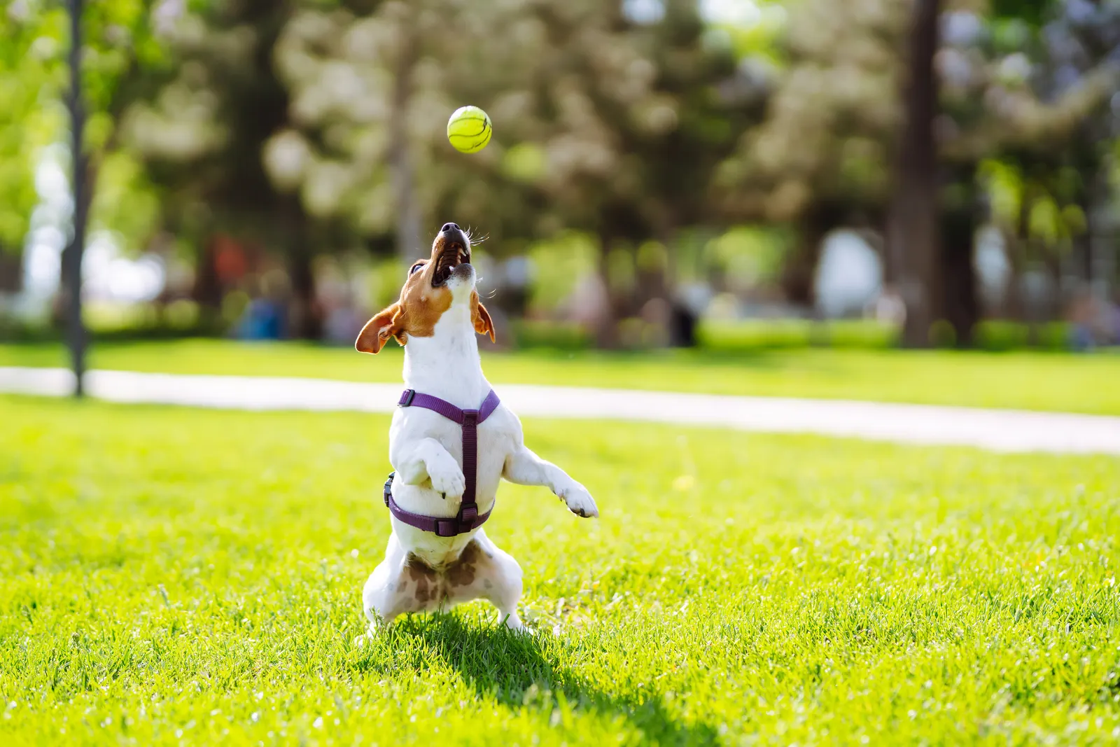
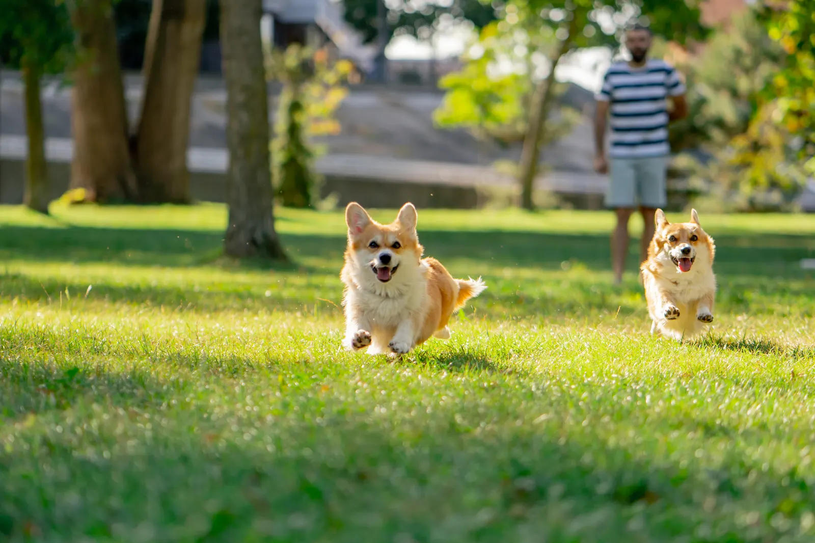
Go explore with your dog in the forest.
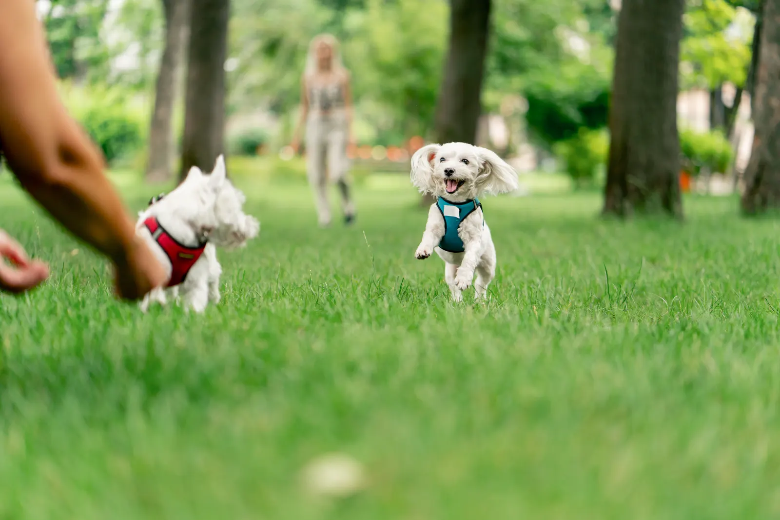
Forest walks, hikes, beaches, lakes, and wide open spaces that are truly welcoming for dogs, tested and recommended by owners. Not just places where dogs are "tolerated", but spots where they're genuinely welcome.
A few random categories to spark your dog's next walk.

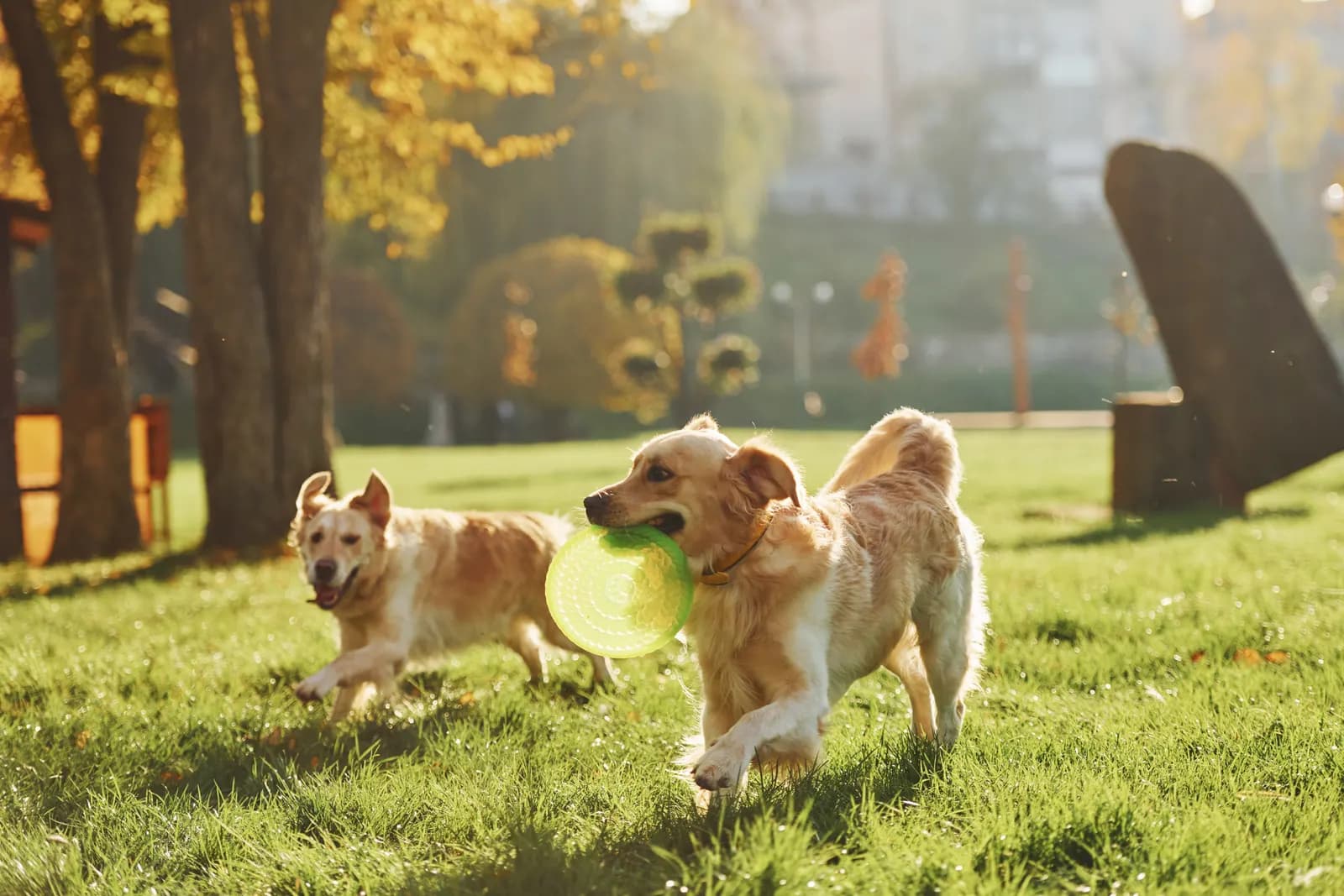
Parks, forests and trails to stretch your paws, enclosed or open.

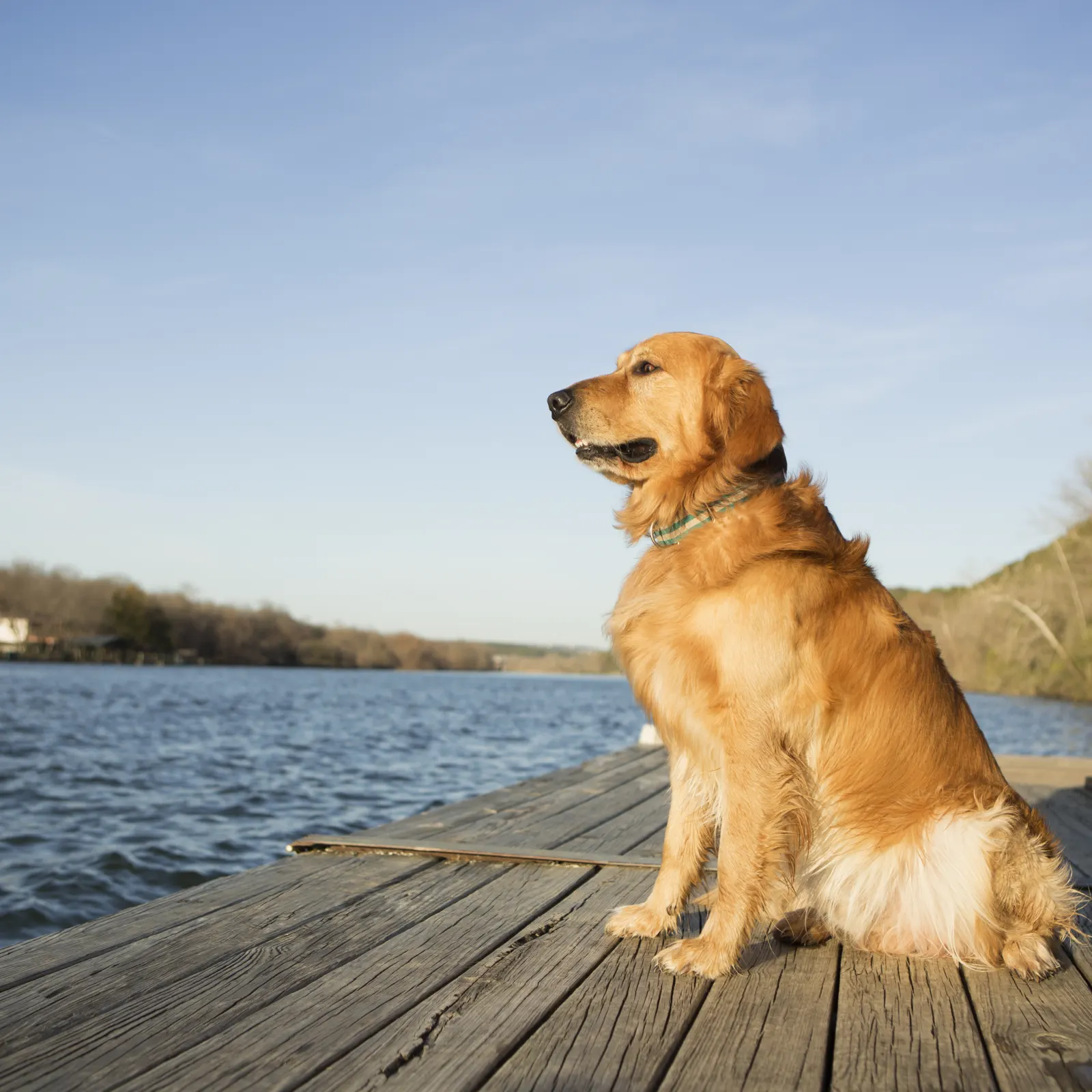
Lakes and waterways to walk alongside, with dog swimming subject to each site's rules.

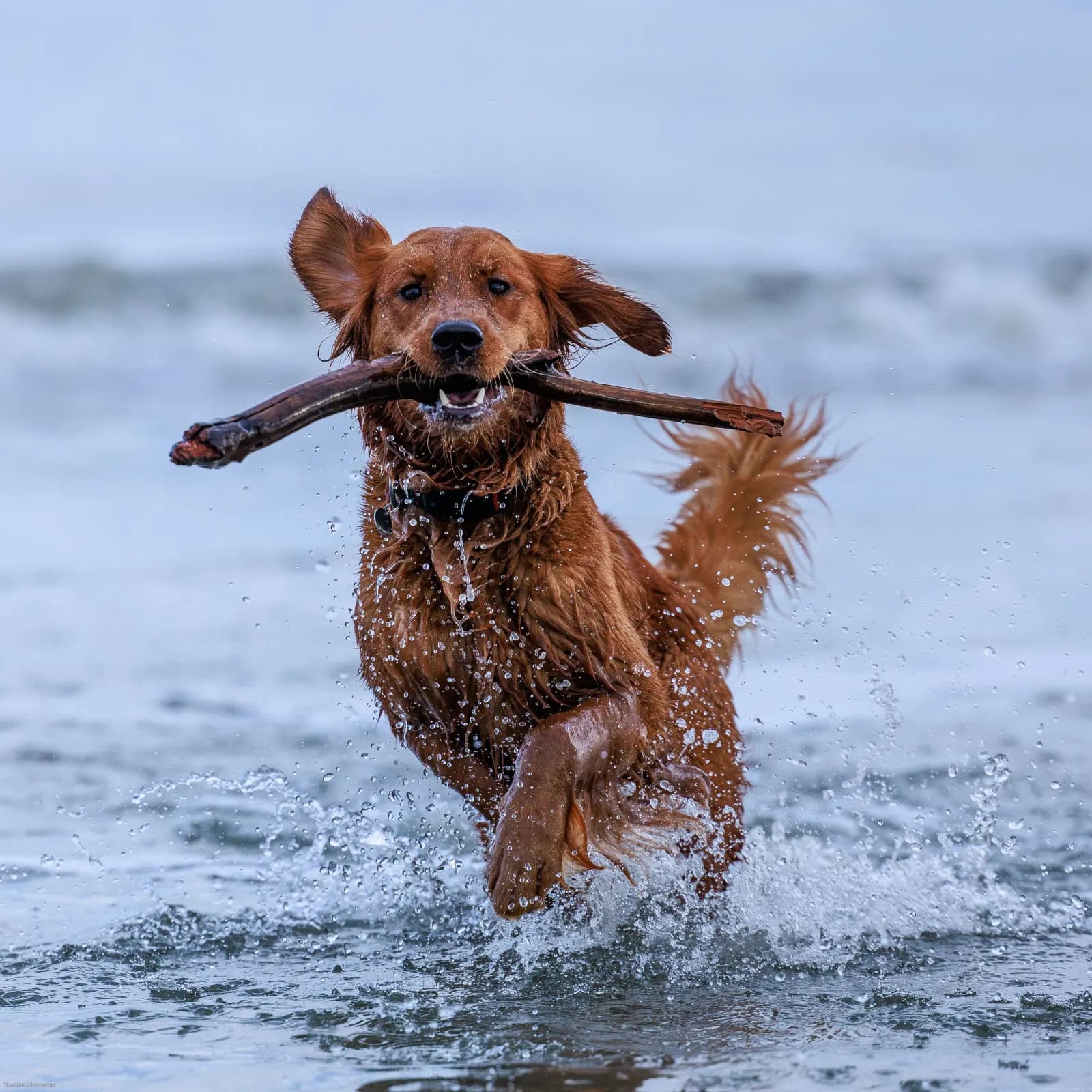
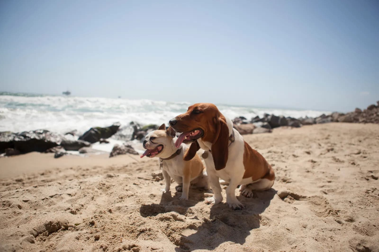
Beaches open to dogs, all year round or outside the main season.

Itinéraires de randonnée et sentiers balisés ouverts aux chiens.
We look at what Google doesn't tell you: off-leash or on-leash access, water, shade, space, peace, safety.
Reactive, puppy, elderly dog, large breed… reviews specify which type of dog a place suits.
Every place shows its verification status and last update. No false confidence.
Loved by owners and their dogs
HikingA 5.8 km walking loop starting from Arvieux Les Maisons in Arvieux. Duration 1 h 30. Dogs allowed on a lead.
HikingA 10.5 km walking route starting from Quint-Fonsegrives. Listed in the departmental plan of itineraries of Haute-Garonne (Toulouse Métropole). Dogs allowed on a lead.
HikingFrom culture to nature, discover the natural spaces of the Dreux state forest.| PR labelled by FFRandonnée with the support of the Comité Départemental de Randonnée Pédestre d'Eure-et-Loir. Follow the yellow waymarks. Dogs allowed on a lead.
BeachesBeach in the bay of Audierne in the Bigouden country, close to the Pointe du Raz.
HikingFully immersed in the forest, head off to discover the northern boundary of Eure-et-Loir and its history. Along the old patrol path, let yourself be surprised by the splendid panoramic views over the Eure valley.| Route created with the support of the Comité Départemental de Randonnée Pédestre d'Eure-et-Loir. Follow the yellow waymarks. Dogs allowed on a lead.
HikingA 2.7 km walking loop starting from Place de la mairie Les Beaumettes in Beaumettes. Duration 1 h 00. Dogs allowed on a lead.
Add it to help other owners find places where their dog is truly welcome. It only takes two minutes.
The map grows every week
HikingUnmarked trail. Very close to Chartres, the Fontenay-sur-Eure site features a series of ponds formed from old ballast pits that attract many water birds. The site is part of the sensitive natural area of the Eure valley.| Dogs allowed on a lead.
HikingWater is everywhere in Senonches, carried by streams to the ponds and wash houses. From their generous land, the people of Senonches have known how to make use of building materials and enjoy the food riches still on offer at the local market.| Route created with the support of the Comité Départemental de Randonnée Pédestre d'Eure-et-Loir. Follow the yellow waymarks. Dogs allowed on a lead.
HikingThis hiking route offers a varied exploration of the Beauce plain, with sweeping views of Chartres cathedral, the quarry, and the stone extraction that was used to build the cathedral and the monuments found throughout the village.| Berchères-les-Pierres is a village near Chartres, known for the quarries that have been worked since the year 1000. The limestone extracted there made it possible to build Chartres cathedral — a stone that is very hard and durable. The route takes you through the woods of la Garenne, where the old quarry face and the still-active quarry are located. Many monuments were built with this stone from Berchères. The chemin des Carriers that you'll follow was used to transport stone from the quarry to the cathedral. This route combines the discovery of the quarry site and the buildings it produced, along with many views of Chartres cathedral. Circuit created with the support of the CDRP28 — follow the yellow waymarks. Dogs allowed on a lead.
HikingGood valley, fertile valley… That seems to be the origin of the name Bonneval! Crossed by the Loir, Bonneval — the Little Venice of the Beauce — has been a stronghold since the Middle Ages, with the founding of the Benedictine abbey of Saint Florentin.| Dogs allowed on a lead.
HikingA walk that lets you discover one of the most beautiful classified natural sites in the vallée du Loir.| Route created with the support of the Comité Départemental de Randonnée Pédestre d'Eure-et-Loir. Follow the yellow waymarks. Dogs allowed on a lead.
HikingAn enchanting spot thanks to the resurgence of the Beauce water table, which forms both a river and a marsh. A rich fauna and flora lie hidden among the reeds, known locally as "rouches".| La Conie: river or not? A tributary of the Loir, it depends on the Beauce water table, which rises to the valley floor and encourages marshland. It winds through a linear marsh whose peat has been exploited in the past. Through the woods of Moléans or along their edge, the route also follows the Conie valley, dotted with watermills. Route created with the support of the Comité Départemental de Randonnée Pédestre d'Eure-et-Loir. Follow the yellow waymarks. Dogs allowed on a lead.